
Radar (SAR)
Maps surface structure, moisture and subtle terrain change — day, night and through cloud.
Type at least 2 letters
We analyse available imagery and data to guide study toward indicators related to metals, voids, caves and precious stones, then turn the findings into clear maps and priority areas.
Orbital data: CelesTrak · updated 2026-09-22 16:36 UTC
Drag to rotate the Earth
Enter your coordinates and we calculate, from the real orbits, when radar, optical and thermal satellites will pass over your land in the next five days.
Your schedule of satellite passes will appear here.
Passes are calculated from public orbital data and nominal sensor swaths. Whether an image is actually recorded depends on each operator’s acquisition plan and, for optical sensors, on cloud cover.
Maps surface structure, moisture and subtle terrain change — day, night and through cloud.
Reveals mineral-alteration signatures in rock and soil, and vegetation stress.
Highlights day–night temperature differences that can relate to moisture or voids.
Reads terrain, drainage and faults to understand the site’s geology.
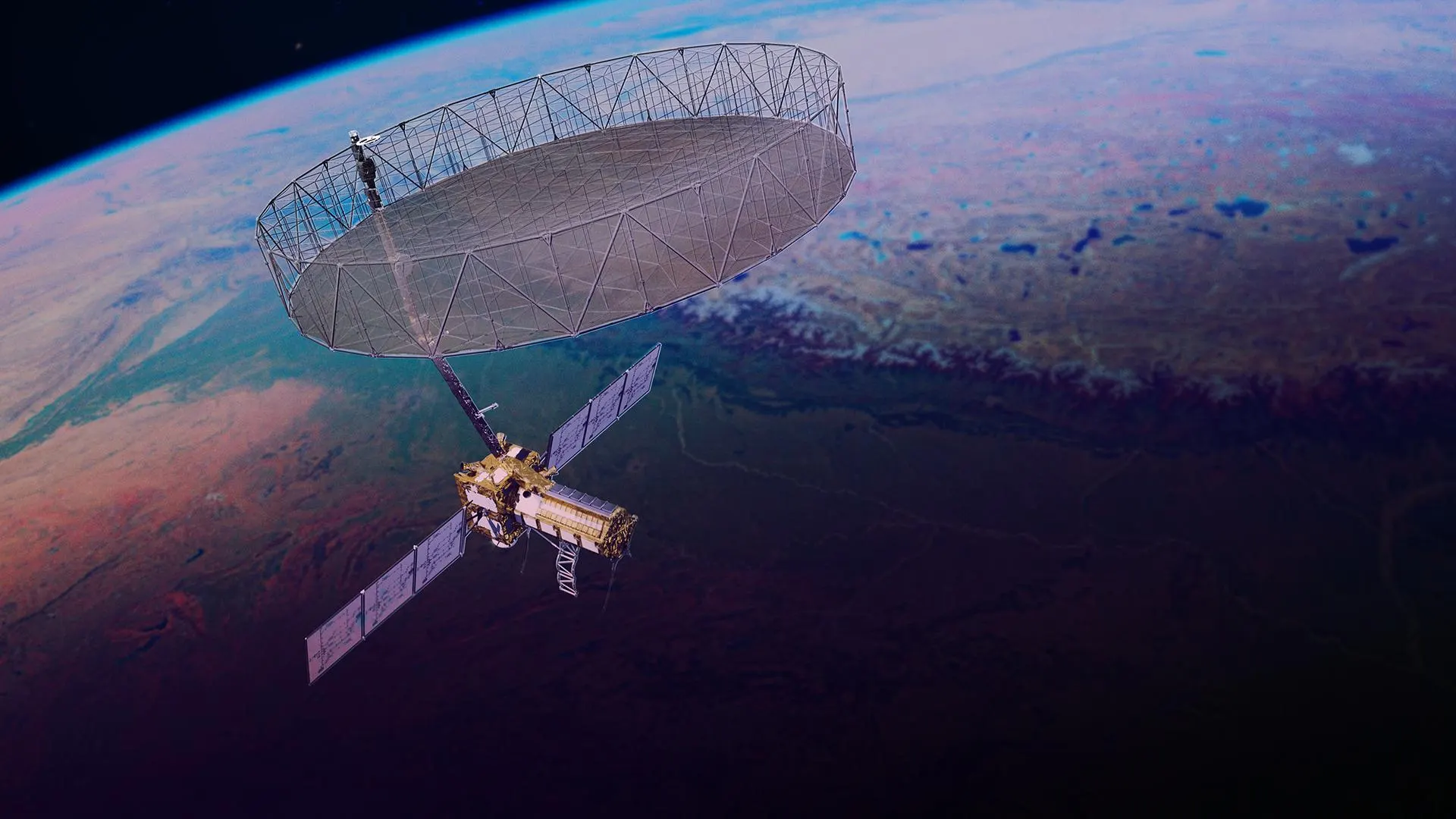
NISAR · NASA/JPL-Caltech
A GPS point or the area outline, by WhatsApp or the order form.
We select the most recent, clearest imagery of the area from several satellites.
Our expert studies each layer and ranks the priority zones.
You receive maps, coordinates and advice on verifying on site with the right detector.
Results are inferential and depend on data availability, quality and terrain. They do not guarantee a discovery and do not replace field verification.
First-pass target detection & GPS coordinates
1 000 MADper study
Orbital satellite radar scan to detect anomalies and pinpoint exact GPS coordinates for shallow metals and void indicators.
Included
Deep 3D orbital scan & exact target depths
25 000 MADper study
High-resolution Synthetic Aperture Radar (SAR) and multi-spectral deep satellite analysis to determine exact depth, metal discrimination, caves, voids, and precious stones.
Included
AttijariWafa bank · HM.NART.TECHNOLOGY
MA64 007 330 000590500000120877
When you send the advance deposit, shipping will proceed the same day we receive your deposit.
Yes. Your coordinates, imagery and report are used only for your study and are never shared.
No. Satellite imagery reveals surface and structural indicators that help rank priority zones; depth and confirmation are established on site with the right detector, which we help you choose.
An initial study takes 24–48 hours; a specialist study takes 3–5 working days depending on the size of the area.
Real Earth-observation satellites such as Sentinel and Landsat, positioned live from their public orbital elements. They are shown for illustration; each study uses the imagery available for the area.